Soft

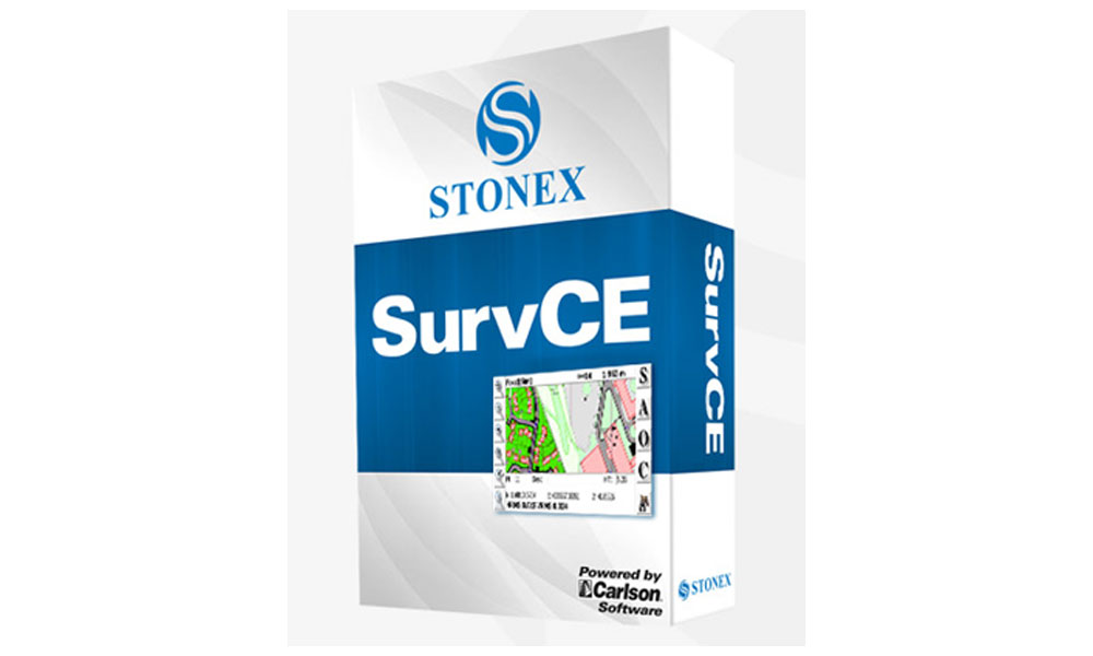
SurvCE

Software Field Solutions

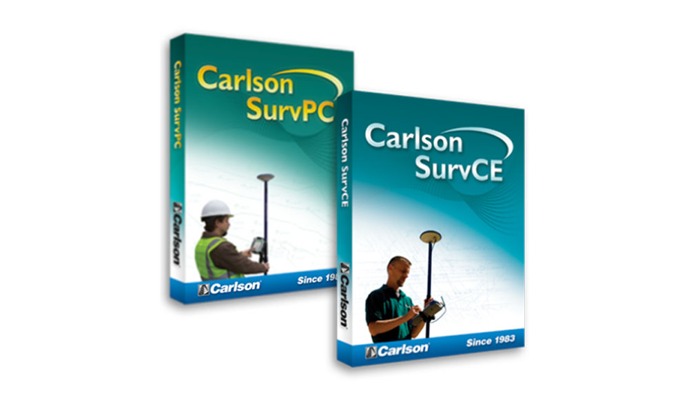
STONEX SurvCE is a customized version of the worldwide well known Carlson SurvCE, dedicated to the STONEX GNSS receivers and Total Stations.
The current Release is mostly dedicated to the advanced features of STONEX S10 GNSS, such as corrections due to tilted measurements and E-Bubble facility.

DESCRIPTION

Any Survey work has never been so safe and accurate before the introduction of STONEX S10 used with SurvCE: every point is stored only if the receiver is exactly in the vertical position, no positioning error can accidentally be stored!

Ask to your local STONEX Authorized Dealer for STONEX SurvCE and for the complete suite of Carlson CE licenses for Total Station, Robotic and mechanical, Road stake out and non Stonex GPS.

SurvCE is available in more than two dozen languages. These include: English, Spanish, French, Canadian French, Portuguese, Czech, Dutch, simplified Chinese, Korean, Greek, Italian, Polish, Hungarian, Swedish, Latvian and more.

Brochure

Cube-a

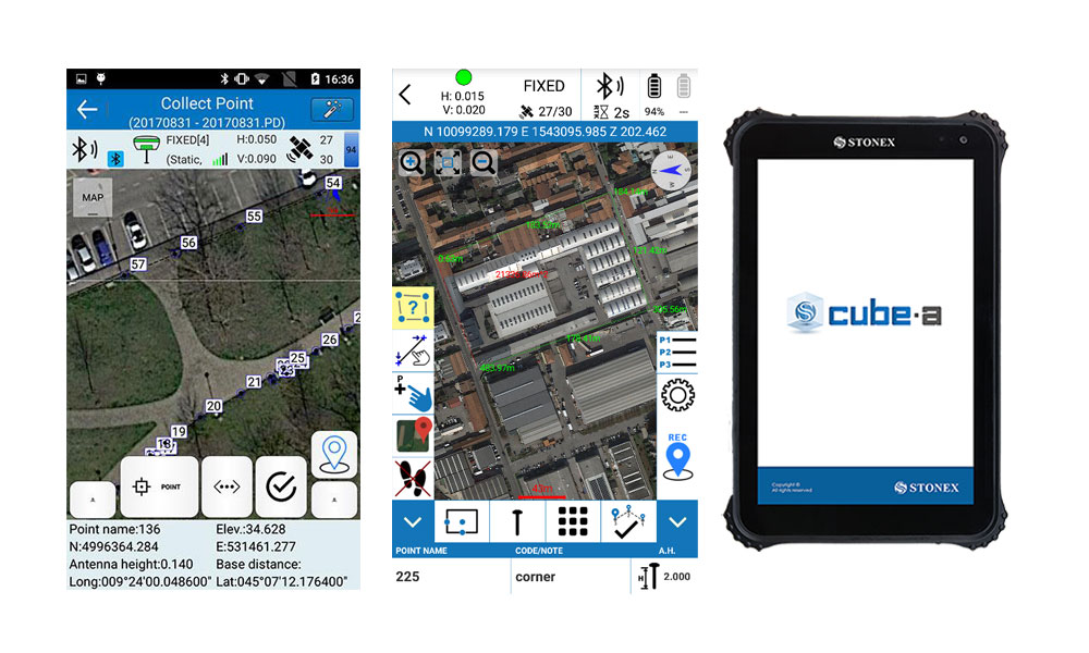
Cube-a is Stonex surveying and mapping software designed and developed for Android platform.

Thanks to the flexibility of Android environment, we have been able to create a simple and intuitive user interface that makes surveyors ready for any work, saving time and increasing productivity.

Full support for touch gestures and the possibility to install it on Smartphones and Tablets are the keys to the success of Cube-a.

Brochure

Cube-link

Cube-link is a free version of Cube-manager for downloading data from GNSS and Total Station to personal computers.

The downloaded data can be displayed graphically and analytically. The operator has simple COGO commands for measuring distances, areas, and perimeters.

Importing and exporting data are supported in various formats such as DXF and CSV, as well as Stonex data formats.

Brochure

Cube-MANAGER

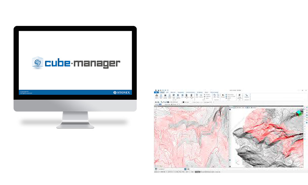
Cube-manager is a software for managing data from GNSS receivers and Total Stations.

You can have Plano-altimetric elaborations, generate 3D models and calculate contours.

The measurements can be displayed in 2D, 3D and superimposed on raster, satellite or cadastral images.

Through a sophisticated internal CAD you can interact with the data using powerful and complete drawing tools and snap functions even in 3D.

Importing and exporting data are supported in various formats such as DXF, DWG, KML, CSV, SHP and others.

Brochure

Cube-NET

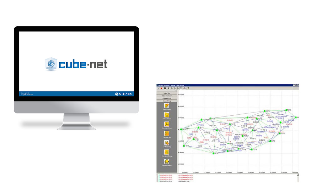
Cube –net is GNSS software for centrally controlling and operating GNSS reference stations and networks.

Data from reference stations can be collected to calculate a solution to rover’s users for obtaining precise position. Receive all necessary corrections data to determine the absolute position of a rover at any location. Manage subscriptions automatically from web user interface. Performance analysis through real time control of the whole network.

Brochure

Cube - connector

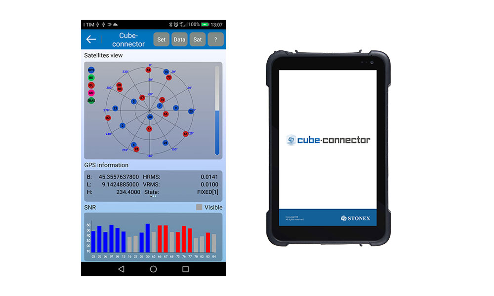
This is Android APP and it has been developed to connect Android devices to Stonex GPS receivers.

In order to be connected to the GPS, the Android Smartphone / Tablet must be paired with the GPS by Bluetooth.

Once the Bluetooth connection has been established, Cube-connector will replace the GPS readings from the internal device with the ones from the Stonex GPS receiver.

In this way the customer can use his software for GIS / Survey in Android OS.

Brochure

GeoGis

Software

Stonex GeoGis is a powerful yet simple software solution for the collection of high quality feature and position data for GIS update and maintenance. GeoGis software provides simple and efficient workflows to capture high quality data quickly and easily. GeoGis is an option that can be embedded into handheld GIS systems.

DESCRIPTION

GeoGis software consists of two integrated modules: GeoGis Mobile for the field work and GeoGis Office for desktop elaboration. With GeoGis you never have to worry about which application to use to manage and transfer your data. With GeoGis software the workflow is straight and simple, from the field to the office and vice versa.

Read more

Stonex GeoGis software makes the field data collection fast and easy to do thanks to a full set of field-designed features, such as graphical map display, clear icon toolbar and useful calculation tools. Stonex GeoGis software also makes it easy to incorporate digital photos into the data collection workflow using an handheld with integrated digital camera. Field workers can take and preview photos, attaching them to the features and create complete set of data for many different purposes.

With Stonex GeoGis software you can create custom data attributes and use them to assign values to the assets. Data forms can be pre-compiled basing on previously entered attribute values for maximum data collection efficiency.
Assets can be viewed on the intuitive graphical display, overlapped with raster and vector backgrounds, resulting in increased productivity and creating a more dynamic field worker experience. Thanks to cellular and Wi-Fi capability GeoGis software can display online maps such as Google Maps, expanding the ability to find visual reference points anywhere on the planet. To inspect an asset, field workers can select the corresponding feature from the list or map, and the intuitive navigation tool of the GeoGis software will guide them to the asset’s precise location.
With Stonex GeoGis software, you can collect data with the required level of accuracy, either in real time or after postprocessing. Stonex GeoGis software is the right solution for collecting and maintaining high quality GIS data.
Geogis is available in the following languages: English, Spanish, Czech, Italian, Hungarian, German, Portuguese, Russian and Uzbek ( Turkish in progress).

Less

Brochure

GeoGis W10

GIS Software for Windows 10 devices

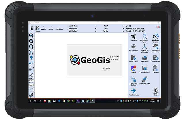
GeoGisW10 is a software for topographic survey dedicated to GIS (Geographic Information Systems) applications.

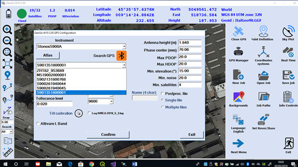
The ideal operating environment is a Windows 10 Tablet with GPS, camera, modem for a data SIM and a Bluetooth system to allow connection to all Stonex GNSS receivers.
It allows topographic precision surveying using connection to networks that offer RTK service, or rapid survey with metric/decimal accuracy.
Creating a survey file now it is simple, that allows data post-processing for better accuracy.

Read more

For every survey, descriptive information may be associated with the elements detected according to a database structure created by the user and/or one or more photographs.
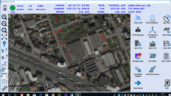
The application allows a fly-over on georeferenced raster images or downloaded by Google in real time.

Topographic operations are summarized as:

  • Topographic precision survey with RTK connection via SIM card or with the external GPS if this available
  • Quick survey of metric/decametric precision
  • Survey of points, lines, areas and paths
  • Stakeout of points detected or imported from files containing the coordinates
  • Setting the most used reference systems and geoids in the world or localization in the field
  • Tracking of graphically defined lines (bathymetry or similar operations)
  • Export / Import of data in the most used formats in topographic surveys/GIS (eg Shape file).

GIS users are usually involved in data collection and applications but they are less familiar with methodologies and acronyms typical of GPS systems.
This is why GeoGisW10 offers to the user very clear and simple menus and an arrangement of survey functions with intuitive terminologies.

Less

Brochure

Reconstructor

Powerful and usable 3D Software

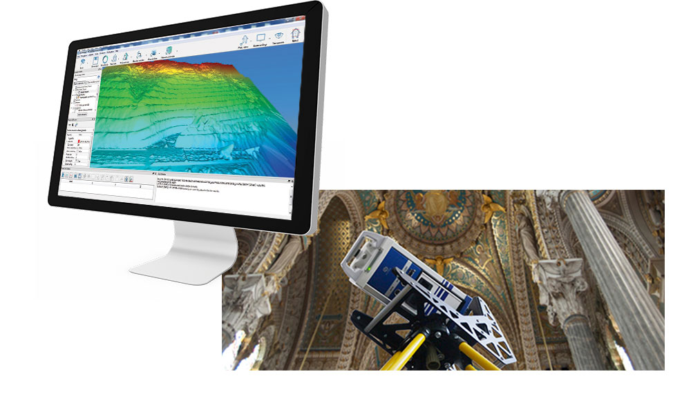
STONEX RECONSTRUCTOR SOFTWARE will guide you trough a complete and clear workflow with expandable modules suited to your needs.

Brochure